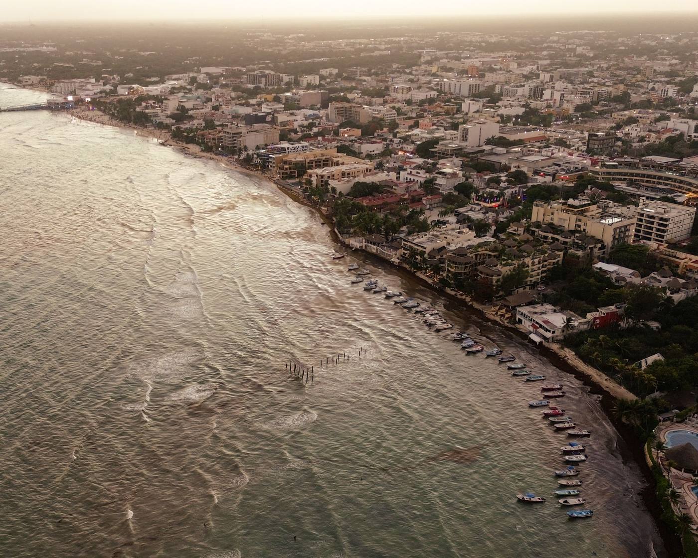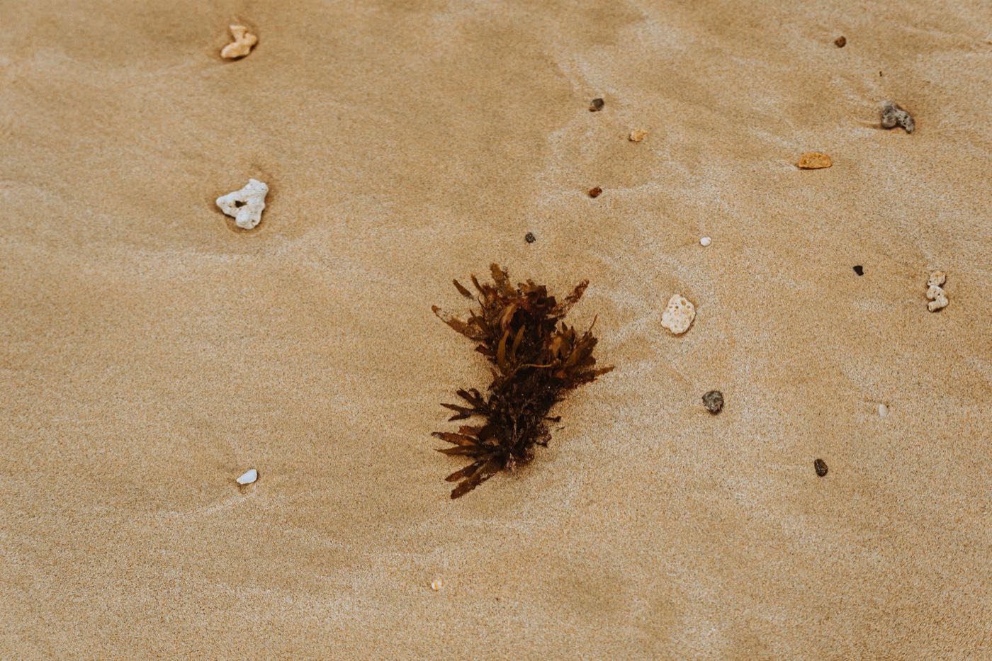

Cancún, in the state of Quintana Roo, Mexico, has one advantage Playa del Carmen does not: its Hotel Zone bends, and half of its beaches turn their back on the sargassum. The live bulletin just below gives you today's arrival index for Cancún plus the NOAA satellite map. After that we go beach by beach on who gets hit and who does not, the season month by month, the seaweed-free escapes within 2.5 hours, and our straight answer on Cancún versus Playa del Carmen between April and August.
Today's conditions, Cancún
Loading conditions…
NOAA satellite map of inundation risk
Produced daily by NOAA and the University of South Florida from satellite imagery. Red means high risk, orange medium, blue low.

Is there sargassum in Cancún today?
It depends which side of the 7 you are standing on. The Cancún Hotel Zone is shaped like the number 7: the horizontal bar at the north is largely spared, while the vertical leg facing east takes the arrivals like the rest of the Quintana Roo coast. On the same June morning, Playa Tortugas can be clear while Playa Delfines is brown.
Two sources cover today. The live bulletin at the top of this page crosses the wind with the season to produce an arrival index for Cancún, and displays the daily NOAA satellite map, which picks up the rafts about 30 miles (50 km) offshore. For beach-by-beach detail, the Red de Monitoreo del Sargazo de Quintana Roo posts a color-coded map of the whole coast every morning on Facebook, Cancún and Isla Mujeres included: green (clean), yellow (light), orange (moderate), red (heavy). Check both to pick your beach for the day, not your hotel: in season, the answer changes week to week.
The geography of the Hotel Zone: the 7 that changes everything
The Hotel Zone is a 14 mile (22 km) sandbar laid between the Nichupté lagoon and the Caribbean. It runs east from downtown for about 5 miles (8 km), the bar of the 7, turns at Punta Cancún, then drops due south for 9 miles (14 km) to Punta Nizuc, the leg of the 7.
That shape does all the work. Sargassum arrives from the east and southeast, pushed by the trade winds and the Yucatán Current. The beaches on the horizontal bar face north into Bahía de Mujeres, sheltered by Isla Mujeres, which sits about 5 miles (8 km) offshore and acts as a natural breakwater. Rafts riding up the coast pass outside Punta Cancún and hit the east face, but rarely turn into the bay. The beaches on the vertical leg face due east into open water: maximum exposure.
Addresses here are given by kilometer marker on Boulevard Kukulcán, so the km numbers below are the ones on the street signs and on your hotel booking.
| Beach | Position on the 7 | Facing | Sargassum exposure | Cleaning |
|---|---|---|---|---|
| Playa Langosta | North bar, km 5 | North, into the bay | Low: clean most of the time | City crews, mornings |
| Playa Tortugas | North bar, km 6.5 | North, into the bay | Low: calm water, rarely hit | City crews, mornings |
| Playa Caracol | North bar, km 8.5 | Northeast | Low to moderate: end of the bay, a few arrival days | Hotels plus city |
| Playa Gaviota Azul | Punta Cancún, km 9 | Northeast | Moderate: on the corner, catches what rounds the point | Beach clubs, from dawn |
| Playa Chac Mool | East leg, km 10 | East, open water | High: regular arrivals in season | Hotels, tractors from 6 am |
| Playa Marlin | East leg, km 13 | East, open water | High: among the worst hit | City crews, slower |
| Playa Ballenas | East leg, km 14 | East, open water | High: arrivals like the rest of the coast | Hotels, tractors and barriers |
| Playa Delfines | East leg, km 18 | East, open water | High: the most exposed public beach | City crews, no barrier |
One honest detail: Playa Delfines, the postcard beach with the giant CANCUN letters, is public with no hotel in front of it. Nobody runs a tractor there at 5 am, so it stays brown longer than a hotel beach on a landing day. And the north bar is also the calmest water: flat, gentle slope, no shore break. That is the stretch to pick with small children, sargassum or not.
Cancún sargassum season, month by month
The calendar matches the rest of the Riviera Maya, with one difference: the north bar softens everything.
| Period | East face (Chac Mool to Delfines) | North face (Langosta to Caracol) |
|---|---|---|
| November to February | Low: clean sand, dry season | None to low: clean |
| March | Low to moderate, first rafts | Low |
| April to June | High: peak, daily landings | Low to moderate, a few orange days |
| July to August | High: heavy, fast decay in the heat | Low to moderate |
| September to October | Moderate: fading, very variable | Low |
Two caveats. No two years are alike: 2015, 2018 and 2022 were heavy, others nearly clean. And even at the peak, two days of west wind clear a beach. It works the other way too: a southeast blow in May can push mats into the bay and foul Tortugas for 48 hours. Rare, but it happens.
For choosing dates, our guide to the best time to visit Playa del Carmen applies to Cancún as well: same climate, same hurricane season, same sargassum calendar.
Where to swim without sargassum from Cancún
Cancún is the best base on the coast for escaping seaweed: three near-guaranteed alternatives within 2.5 hours, all reachable without a car.
1. The north beaches of the Hotel Zone
The easiest fix is a 10 minute bus ride. Take the R1 or R2 bus along Boulevard Kukulcán, a flat 12 pesos (about $0.65) however far you go, and get off at Playa Tortugas (km 6.5) or Playa Langosta (km 5). Both are public, free to enter, with showers and beach restaurants charging 150 to 300 pesos ($9 to $18) for a main. Playa Caracol at km 8.5 is narrower but often empty. On a red day on the east face, this is where locals go.
2. Isla Mujeres, Playa Norte

Playa Norte faces northwest, back toward the mainland, so sargassum almost never reaches it. Turquoise water knee deep for 165 feet (50 m), white sand, sandy bottom with no rock. In our view it is the best beach in all of Quintana Roo during sargassum season, and it sits 20 minutes by boat from Cancún.
- Ultramar ferry from Puerto Juárez: departures every 30 minutes from 5 am to 11:30 pm, 20 minute crossing, about 300 pesos round trip ($16). There are also departures from the Hotel Zone piers (Playa Tortugas, Playa Caracol, El Embarcadero): more convenient, but budget roughly 30 percent more and a longer crossing.
- Getting to Puerto Juárez: taxi from the Hotel Zone 300 to 450 pesos ($18 to $27), or the R1 bus downtown plus a short taxi at 60 to 80 pesos ($4 to $5).
- On the island: Playa Norte is a 10 minute walk from the pier, free access, loungers 200 to 400 pesos ($12 to $24) with a drink minimum.
- Honest limit: the east side of the island, toward Punta Sur, gets sargassum just like Cancún. And Playa Norte is packed between 11 am and 3 pm in high season, so take the 8:30 am ferry.
3. Holbox
Isla Holbox sits at the top of the peninsula, on the Gulf of Mexico rather than the Caribbean, which means it is usually spared. Shallow water, sandbars, no cars, whale sharks from June to September.
- Getting there: 2.5 hours by road from Cancún to Chiquilá (ADO bus 375 to 450 pesos, $20 to $24), then a 20 to 25 minute ferry, about 330 pesos each way ($18).
- Our advice: this is not a day trip, it is two nights minimum. Organized day tours ($130 to $190) spend 5 hours on the road for 3 hours on the island.
- Honest limit: the water is less clear than at Isla Mujeres, and the island does get occasional weed, far thinner than on the east coast.
4. The cenotes of the Ruta de los Cenotes, at Puerto Morelos
Thirty minutes south of Cancún, Puerto Morelos is the gateway to the Ruta de los Cenotes, a 22 mile (36 km) road toward Leona Vicario lined with sinkholes. Fresh water, crystal clear, 75 to 77°F (24 to 25°C), and by definition no sargassum ever.
- Verde Lucero: open cenote with a jump platform, about 300 pesos ($18), life jackets included.
- Siete Bocas: seven openings in the rock, semi cave, 400 pesos ($24).
- La Noria: cave with a zipline, 200 to 350 pesos ($12 to $21) depending on the activities you add.
- Kin Ha: three cenotes on one site, 400 pesos ($24), lockers and restaurant.
Getting there: rental car (free parking everywhere), taxi from Cancún 800 to 1,200 pesos each way ($43 to $65), or a guided tour with transport at $70 to $100 per person. Most open 9 am to 5 pm. Arrive at opening: after 11 am the hotel groups roll in.
Puerto Morelos itself is exposed, but its beach is shielded by the reef about 550 yards (500 m) out, which thins the mats on moderate days. For the cenotes further south, see our guide to the cenotes around Playa del Carmen.
How to pick a Cancún hotel in sargassum season
Between April and August the rule is simple: book on the north bar of the 7, between km 3 and km 9 of Boulevard Kukulcán (Playa Langosta, Tortugas, Caracol). These tend to be older and cheaper than the towers on the east face, with a smaller but cleaner beach. In season, that is a very good trade.
If your heart is set on the east face (big resorts, wide sand, actual waves), check three things before you pay:
- The sargassum barrier. Search "barrera antisargazo" or "sargassum barrier" in reviews from the last three months. The big groups on the east leg have installed them, but not all of them. A barrier does not stop everything, it sharply reduces what lands in front of the private beach.
- Tractors at dawn. Recent reviews will say it plainly: the beach is raked every morning. Without that, the hotel is relying on the city and you will wait.
- The pool. A resort with three pools and a lagoon-side beach club is still a good address on a red day. A hotel with one small pool and a brown beach is not.
From November to February, choose on price and style: seaweed will not be the deciding factor. And in any season, book boat trips with free cancellation up to 24 hours ahead.
What Cancún actually does about the sargassum
Cancún is the best equipped city on the coast, because it is the richest and has the most image to lose. The response works on three levels.
- At sea: the Mexican Navy coordinates a fleet of collector boats, the sargaceras, that scoop rafts offshore, and deploys floating barriers several kilometers long in front of the Hotel Zone. They protect the east face in sections, not end to end.
- On the sand: municipal brigades work the public beaches from 5 am to 10 am with rakes and sifting tractors. At the peak, the city reports several hundred tons collected per week.
- On the hotel side: each resort pays for its own tractors and often its own barrier. That is why a hotel beach on the east leg can look fine at 8 am while Playa Delfines, 2.5 miles (4 km) away, is still covered.
The result is real but partial: Cancún cleans faster than Playa del Carmen or Tulum, it does not stop the arrivals. A raked beach still has cloudy water at the shoreline on a red day. The only real protection is geography: the north bar of the 7.
Cancún or Playa del Carmen in sargassum season?
North Cancún, no hesitation. From April to August it is the best beach bet on the coast, for three measurable reasons.
- Bahía de Mujeres. Playa del Carmen faces due east along its entire 5 miles (8 km), with no sheltered beach anywhere. Cancún has 5 miles of north-facing sand that misses most of the arrivals. No other town on the Riviera Maya has that.
- Isla Mujeres, 20 minutes away. From Playa del Carmen, Playa Norte means an hour of driving plus the ferry. From Cancún it is a round trip inside one morning. Playa's escape hatch is Cozumel: a 45 minute ferry at about 550 pesos ($32) round trip, nearly twice the price.
- Cleanup capacity. More boats, more barriers, more tractors.
Playa del Carmen keeps its own strengths: a walkable town, the Quinta Avenida, cenotes 20 minutes away, Cozumel across the channel. We cover its situation in detail in our guide to sargassum in Playa del Carmen. Out of season, November to March, Playa wins on atmosphere for us. But for a beach trip in May, June or July, sleeping in north Cancún and spending a day in Playa is the obvious move: the two towns are an hour apart, as our guide to Cancún airport to Playa del Carmen explains.
One last habit: check the Playa del Carmen webcams and today's bulletin before you pack the towel. Five minutes that save a wasted morning.
Keep going

Frequently asked questions
Which Cancún beaches have no sargassum?
The beaches on the north bar of the Hotel Zone, facing Bahía de Mujeres: Playa Langosta (km 5), Playa Tortugas (km 6.5) and Playa Caracol (km 8.5). Sheltered by Isla Mujeres, they stay clean most of the time, even in season. Playa Norte on Isla Mujeres, 20 minutes by ferry, is safer still.
When is sargassum season in Cancún?
Low from November to February, rising in March, peaking April through August, easing in September and October. The east face of the Hotel Zone (Chac Mool, Marlin, Ballenas, Delfines) takes the arrivals, while the north face (Langosta, Tortugas, Caracol) is largely spared year round.
Is there sargassum on Isla Mujeres?
Almost never on Playa Norte, which faces northwest toward the mainland. The east coast of the island, toward Punta Sur, gets it like Cancún. Ultramar ferries leave Puerto Juárez every 30 minutes, the crossing takes 20 minutes, and a round trip runs about 300 pesos ($18).
How do I check whether there is sargassum in Cancún today?
The live bulletin at the top of this page gives today's arrival index for Cancún plus the NOAA satellite map. For beach-by-beach detail, the Red de Monitoreo del Sargazo de Quintana Roo posts a color-coded map of the whole coast on Facebook every morning.
Should I pick Cancún or Playa del Carmen to avoid sargassum?
Cancún, on the north side of the Hotel Zone, between April and August: those beaches face Bahía de Mujeres and miss most of the arrivals, and Isla Mujeres is 20 minutes away. Playa del Carmen faces due east along its whole length with no sheltered beach. Out of season, November to March, the two are equal for beach time. Compare with the situation in Playa del Carmen before you book.